Town on the banks of the Orange River, some 195 km from Bloemfontein, on the road to to East London. It was founded in 1849 and named by the Governor of the Cape Sir Henry Smith, 1847-1852. To commemorate his victory over the Sikhs under Runjet Singh, at Aliwal in India, on the 28 January 1846. Aliwal North achieved Municipal status in 1852, now known as: 'the Joe Gqabi District Municipality'.
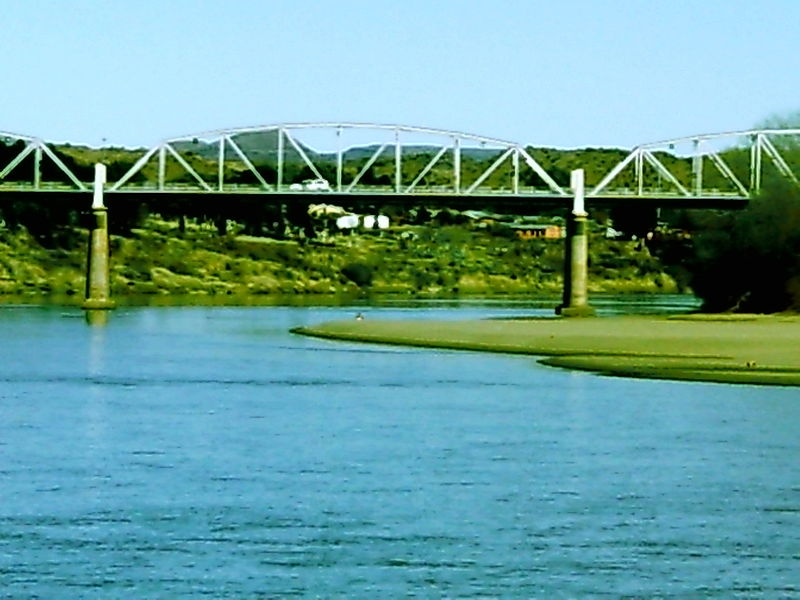
The Settlement of the Area and its development into a Town probably is connected to the presence of good water, thermal springs and a good fording place ('drift') across the Orange River, just below its confluence with the Kraai River. The Frere Bridge was opened in 1880 and later replaced with the General Hertzog Bridge, leading to Bloemfontein, 206 km to the North. To the South-West of the Town, the Kramberg Railway Siding, raises to 2000 m Above Sea Level!


