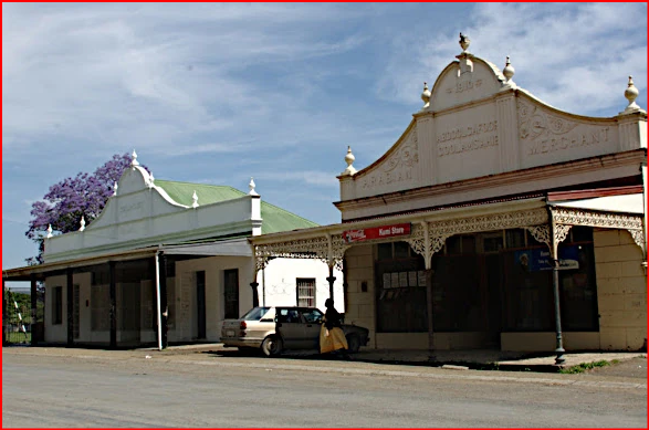
The Ueckermann family features prominently in the history of Heidelberg, Gauteng. Heinrich Julius Friedrich Christian Ueckermann (1827-1883) is widely regarded as the founder of the town. He established a trading store on the farm; 'Langlaagte'. It was at his initiative that the town was laid out and proclaimed in 1866.
One of the early travellers writing about the place was EF Sandeman: "Looking down on the village from a mile or two away, it has all the appearance of a pretty, old fashioned German hamlet, but a closer inspection showed it to be a decidedly dirty and unimpressive little place'. He came through Heidelburg, (his spelling) back in 1877 and was not very impressed with the place. I am sure things have improved since then!
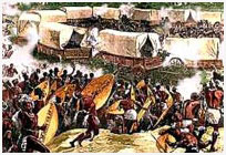
For a while it was the seat of government of the "Zuid-Afrikaanse Repuplik" in 1880/81. Heidelberg was selected because it had no British troops stationed there, thus the Republic could be re-proclaimed without interference from the military. On the 16 December 1880 (Dingaan's Day or now known as: the 'Day of the Covenant') the flag was officially hoisted at the town. It became a municipality in 1903.