
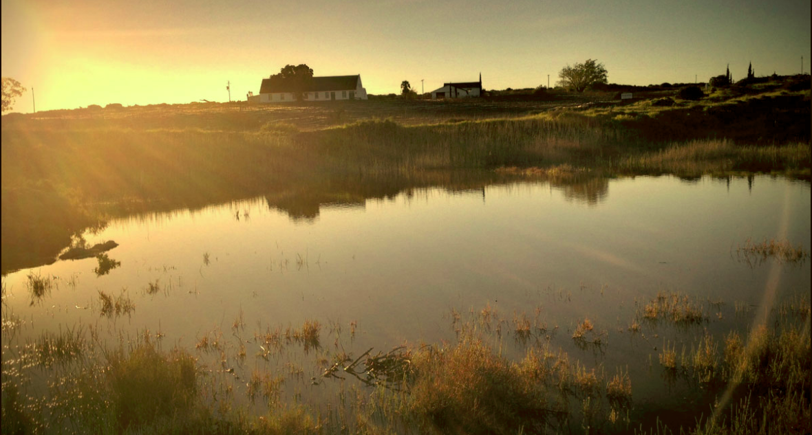
Kookfontein’s Sauvignon Blanc is grown on the Northern bank of the Jackals Creek, near the rustic seaside town of Lamberts Bay. The small boutique vineyard overlooks the nutrient rich kelp coast of the Atlantic Ocean, five kilometres to the West. During the summer months a cool, crisp sea breeze influences the ripening process of our grapes, ensuring the prefect growing conditions for a fine palatable white wine. The cool climate of the region is integral to the quality of our wine. Climate is considered the principal factor in the potential style and quality of wine that a region can produce and cool to intermediate temperature climates have consistently produced the finest table wines in the world.
In 2012 Kookfontein won the South African Gold Medal for Best Young Wine in the Olifants River Region. Our wine continues to improve with every harvest. Please enjoy their wine responsibly!
The Kookfontein farm is situated just off the R364 only 5km outside of Lambert’s Bay on the West Coast. The working farm has belonged to the Engelbrecht family for over two centuries. The cottages look out over the vineyard from which Kookfontein Sauvignon Blanc is made.


