'Colonialism had never really ended': my life in the shadow of Cecil Rhodes by Simukai Chigudu
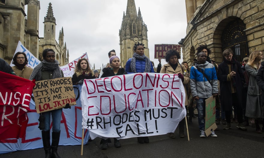
There was no single moment when I began to sense the long shadow that Cecil John Rhodes has cast over my life, or over the university where I am a professor, or over the ways of seeing the world shared by so many of us still living in the ruins of the British empire. But, looking back, it is clear that long before I arrived at Oxford as a student, long before I helped found the university’s Rhodes Must Fall movement, long before I even left Zimbabwe as a teenager, this man and everything he embodied had shaped the worlds through which I moved.
Language