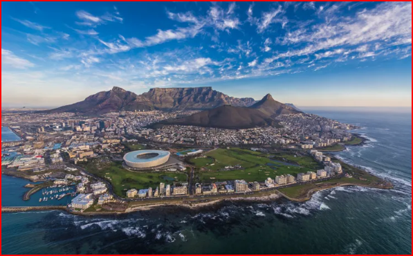
Following the first British occupation of the Cape in 1795, the existing Dutch line of defence, known as the French line, was extended by the addition of three blockhouses up the slopes of Devil's Peak. These included the Queen's Blockhouse, on the Zonnebloem Estate, the Prince of Wales, above present-day De Waal Drive, and the King's Blockhouse further up the mountainside. The first two have since fallen into a state of disrepair but the King's Blockhouse, a massive stone structure 7m square, located on a prominent point on the Devil's Peak, was retained in use as a signal station for communication between Table Bay and False Bay. The line was further strengthened in 1814 when several additional redoubts were built, and at one stage served as the official boundary between Cape Town and the country districts beyond. The King's Blockhouse was declared a National Monument under old NMC legislation on 4 February 1938.
The King’s Blockhouse is a well-known landmark on Mowbray Ridge, on the slopes of Devil’s Peak, Table Mountain. It is strategically placed to command views of Table Bay and False Bay, and combine with the York and Prince of Whales Blockhouses formed a defensive line guarding the land approach to Cape Town and Table Bay. Probably the quickest way to reach “The Blockhouse” is to park your car at Rhodes Memorial and hike up the trail. You can also reach it by mountain bike, and it is a popular destination for bikers and trail runners.
From a thorough piece on the Battle of Blaauwberg:
“Ironically, these defences had been strengthened by the British as soon as they had taken over Cape Town in 1795. General Craig had learnt from his own success The French Lines had not been carried through to the slopes of Devil’s Peak so he constructed three blockhouses (called the ‘York’, ‘King’s’ and ‘Prince of Wales’) to remedy the deficiency. The King’s Blockhouse was located high up on Mowbray with an excellent view of both Table and False bays. It is easily visible from many parts of the city’s suburbs.”