Cliff 4 km East of Port St. Johns. Takes its name from varieties of verigated, semi-pelucid, Chalcedonies found here. The 'Meliskerk' was wrecked off the Coast there in 1943.
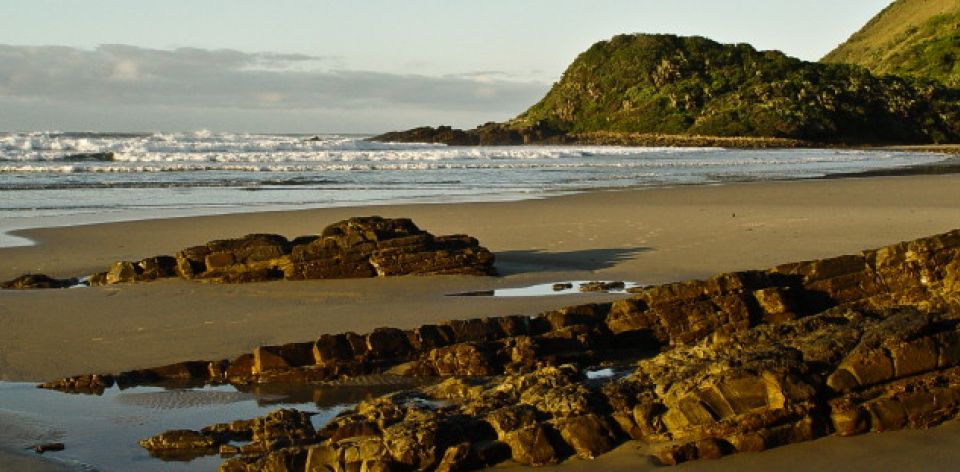
Agate Terrace is halfway between the river mouth and where the beach ends abruptly in a very steep bluff. The path from here leads to the top and along the hills to another splendid beach and excellent rock fishing can be had. This is' Poenskop', which means, in Afrikaans, a hornless cow’s head. Along these Wild Coast, hills one finds Native life as primitive as is possible to see, and the view of the ocean is breathtaking.
The ferry service runs from dawn to dusk at a nominal charge (the path next to the Library will take you to the ferry). It takes you across to the other side of the river, where you can take a walk along the beach (Long Beach) or the road.
New Dictionary of South African Place Names by Peter E Raper
https://www.sa-venues.com/things-to-do/easterncape/ferry-point-hike/