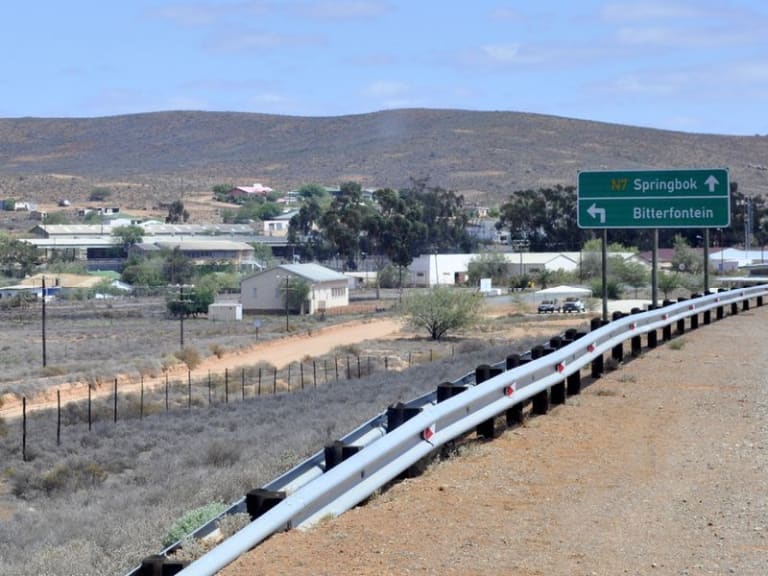
In the Northernmost part of the Western Cape, along the Northwestern plain, lies a relatively isolated Village located in the Knersvlakte Region, called Bitterfontein. Bitterfontein forms part of the Southern section of Namaqualand and its name is derived from the bitter and brackish-quality of its water. Knersvlakte, translated from its original Afrikaans, means ‘gnashing flat’ or ‘gnashing plain’, which references the sound made by the wagons of bygone days as their wheels traversed across the quartz gravel stone - a distinct feature of the region’s arid terrain.
Located on the periphery of the Western Cape, Bitterfontein derives much of its significance as the railhead of the rail system to Cape Town. In 1915, prior to the development of the railhead at Bitterfontein, Klawer served as the established terminus. The railway at the small town of Klawer, however, struggled to cope with the demands of serving the expansive hinterland beyond its own borders. The railway was thereby extended further north-westward towards Lutzville in 1926. The line was extended and the railhead at Bitterfontein was developed in 1927. The first train arrived on 27 April of that year. The railway at Bitterfontein was used for the transportation of granite blocks, copper ore and other goods. Since the continued development and improvement of roads, the railway at Bitterfontein has lost much of its importance, and with it, this almost forgotten village on the fringe of the Western Cape has faded into relative obsolescence. This has also led to the economic decline of the village. Though of diminished significance today, Bitterfontein does attract train and railway enthusiasts, and people touring these regions of the Western Cape.
Bitterfontein is governed under the Matzikama municipality. Spanning an area of 39.90 km², according to a 2011 census, Bitterfontein is inhabited by a meagre 986 people and has 231 households. [1] Inhabitants of Bitterfontein predominantly speak Afrikaans as a first language. A halfway point between Cape Town and Namibia, Bitterfontein has a modest hotel, a farmer’s market, an Agrimark and a petrol station. Though inhabited by few and obscure to non-inhabitants, the village of Bitterfontein boasts of a vast array of flora and fauna. The region is home to a rich diversity of bird life - the martial eagle being one of its finest hallmarks. Its terrain is roamed by the black-backed jackal and Cape honey badgers. An arid area, Bitterfontein’s landscape is adorned with a vast variety of species of succulents that enhance the dry land with hues of green, red, purple and maroon.
A region renowned for its bitter water, in 1990, Bitterfontein became the location of South Africa’s first desalination plant which provides fresh water for its own inhabitants and for those in its neighbouring settlement, Nuwerus. This desalination plant was also the first of its kind in the southern hemisphere. According to D. A. Still, Bitterfontein has ‘groundwater salinities [this refers to the degree to which it contains salt] of over 4000 mg/l but now benefits from a state-subsidised Reverse Osmosis desalination plant.’ [2] Bitterfontein is therefore also significant for reasons beyond its railway.
This significance traversed into the cultural sphere in 1997 when Zak van Niekerk released an Afrikaans folk song called ‘Die Bitter van Bitterfontein’. The song evokes the relevance of the train terminus and the scant opportunities available to the inhabitants of the region.
Once an integral train terminus and the location of South Africa’s first desalination plant, though forgotten today, Bitterfontein’s historical significance should not be understated.
End notes
[1] These figures would have since changed. See ‘Main Place: Bitterfontein,’ Census 2011 at https://census2011.adrianfrith.com/place/160004 accessed on 20 March. ↵
[2] D. A. Still, ‘Small scale desalination in South Africa with particular reference to solar desalination,’ PhD diss., University of Cape Town, 1991. ↵


