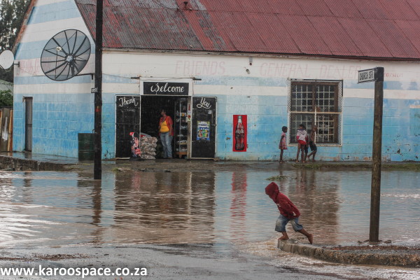
It is the second-largest Municipality of seven in the District, accounting for 19% of the Geographical Area, and is an an Administrative Area. The Municipality is named after the South African national bird, the blue crane. It spans an Area of approximately 9,836 square kilometres with a Population of nearly 40 000 people in the Towns of Cookhouse, Pearston and Somerset East.
The Area is characterized by a small population, meaning there is: low populations density, concentration of employment in agriculture, disinvestment in rural areas, the dominance of one urban centre in the region and the resultant disparity between rural and urban areas. In addition to this, the Blue Crane Route Local Municipality has a high prevalence of poverty and declining employment levels.
The construction Industry has also experienced growth due to the initiation of new housing schemes. The Manufacturing and Government sectors have been consistent contributors to Employment in the Area. The highest levels of Employment in the formal sector are in; the agricultural sector and the community services sector. The agricultural sector employs the highest percentage of people therefore it plays a fairly big economic role.
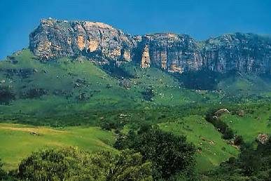
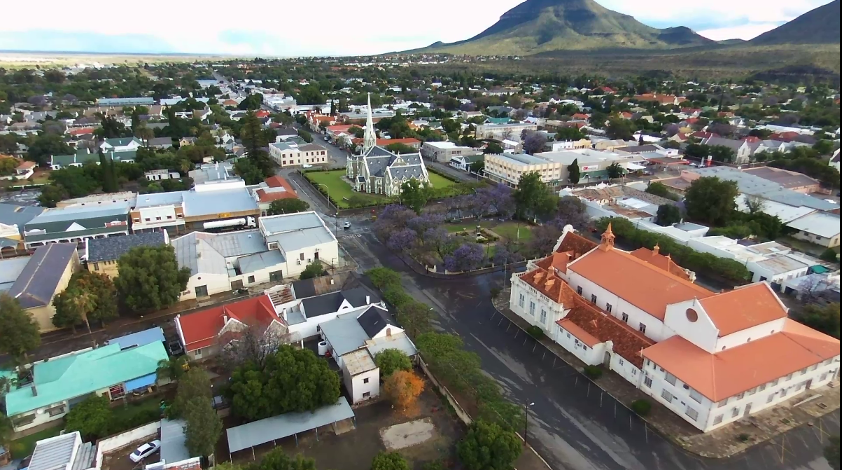
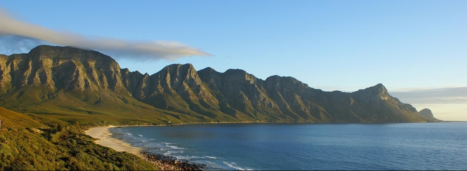
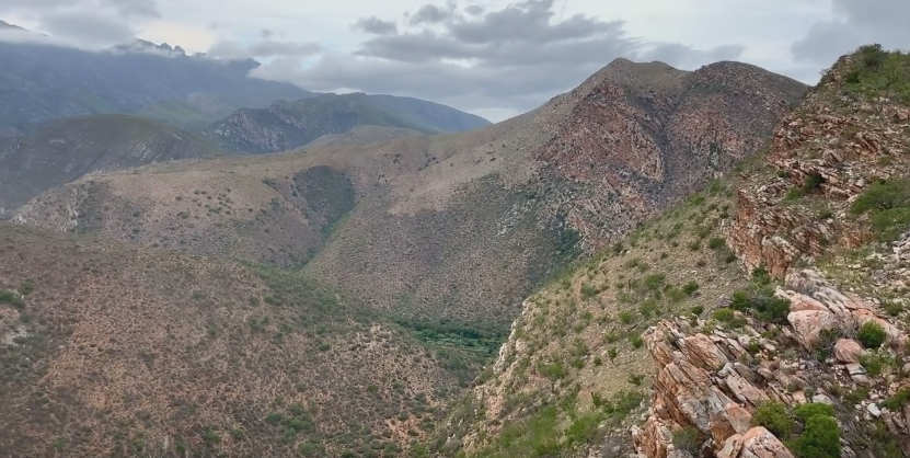
Somerset East is the administrative centre of the Blue Crane Route Municipal Area and it is situated at the foot of the Boschberg Mountains.
Tourism and farming are also major drivers of the local economy. It also encompasses part of the Addo Elephant National Park and other significant areas of; Nature Conservation.