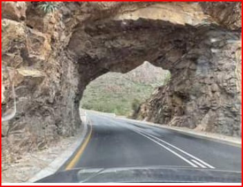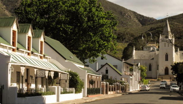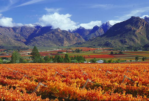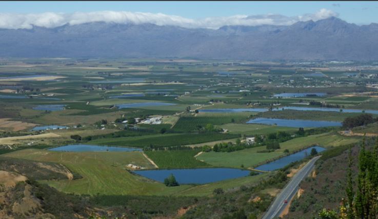
Bonnievale is a quiet Town in the Breede Valley of the Western Cape. Bonnievale is surrounded by the Langeberg Mountains. What makes Bonnievale so unique is that it is the only Town in South Africathat can offer you an abundance of cheese, wine and river scenery all in one! Bonnievale has a lovely History of how one man, Christopher Forrest Rigg- against all odds he tamed the Breede River, by building a 35km long water channel, to supply the rich soil with enough water for sustainable Farming, (LINK IN FURTHER READING). Most of the Town still gets its water from this source to this day, which is why the little Town sits in the centre of all the Vineyards.
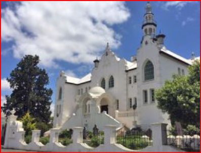
The name Bonnievale actually means 'Beautiful Valley'. Bonnievale, was founded by Christopher Forrest Rigg. Rigg and his wife. They moved to Bonnievale in 1900. Their only surviving daughter, Mary Myrtle was born in 1903. Sadly in 1911 she contracted meningitis and on her deathbed she asked her father to build her a small Church. Mary Myrtle was buried in her favourite playground, the lucerne field near her home. Rigg kept his promise and built the small Norman-style Church in her memory.


The date on the cornerstone is 1921, but the first Anglican service was only held in 1924. At the entrance above the main door there is a statuette in the likeness of Mary Myrtle, and in the background is a rose tree with seven roses, depicting the seven years of her life. The Mary Myrtle Rigg Church is the only Church in the world known to be built at the request of a child.

Christopher Forest Rigg was also responsible for the construction of the Bonnievale water channel scheme, providing water to this small Town. Today, more than 100 Years since completion, all of the East side and large sections of the West side of Bonnievale still use the water from these channels.
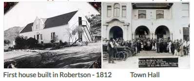
In 1902 a Railway halt was constructed between Robertson and Swellendam and was called 'Vale'. In 1917, at Rigg’s request, the halt received full Railway Station status and the name changed to Bonnievale.

In 1922 a Village management board was elected. The Town received full Municipal status in April 1953.