Hopefield is a town in the Western Cape province, South Africa, north of Cape Town. The town was laid out in 1852 and was named for the two Cape Colony government officials who were responsible, named: 'Hope and Field'. Municipal status was granted in 1914. Hopefield is situated in a semiarid agricultural region; wheat is the principal product, but sheep raising and honey production are also important. The town is connected with Cape Town by rail. The archaeological site of Elandsfontein is located 13 km southwest of Hopefield, about 16 km inland from an estuary of Saldanha Bay and 100 m above sea level. In the early 1950s a large collection of fossilized bones andPaleolithic artifacts was discovered in chalky concretions exposed between high dunes by the prevailing winds. Under the direction of Ronald Singer of the University of Cape Town, more than 20 000 faunal remains and 5 000 artifacts were removed from the site. About 50 mammalian species, approximately half of them extinct, are represented among the fossil bones. The extinct species include: 'an ancestral springbok; a sabre-toothed tiger and very large wild pigs, lion, baboon, and buffalo'. The horns of the buffalo have a span of 3 to 3.6 m. In 1953 Keith Jolly, an archaeologist working with Singer, discovered fragments of a hominin skull known as Saldanha man (formerly Hopefield man). The skull, which dates from the same period as the fauna, is very similar to those found in 1921 at Broken Hill, Northern Rhodesia (now Kabwe, Zambia), and called: 'Rhodesian man'. The site appears to have been occupied between 150,000 and 60,000 years ago. Hopefield has a thriving business community and provides a wide range of goods and services to its residents as well as surrounding communities. The beautiful Hopefield Dutch Reformed Church built in 1879. (its antique organ organ still plays on Sundays). Examples of the 'Hartbeeshuisie' or reed houses, traditional homes of the area, are all something to see. The two historic Cape Dutch homesteads: 'Coenradenburg and Langrietvlei, have been declared provincial heritage sites. (Langrietvlei is open to the public, but a viewing must to be booked in advance.)
Place record
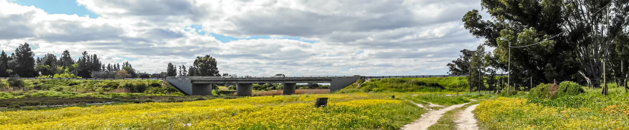
Hopefield, Heritage Town in the Western Cape
- Coordinates
- -33.0630, 18.3490
- Updated
- 9 Apr 2026
Location Map
Hopefield, Heritage Town in the Western Cape
How we know this
- 01https://www.westcoastway.co.za/hopefield/https://www.west-coast-info.co.za/region/town/248https://www.britannica.com/place/Hopefield https://simplybee.co.za/blogs/history/hopefield-south-africa-a-town-rich-history-natural-beauty?srsltid=AfmBOoqH2h0MzaWUmsV73q3xVqzHPrckKN25hxg_2h0rWJMu5gw65FUS
Last updated · 9 Apr 2026
South African History Online. (2020, February 20). Hopefield, Heritage Town in the Western Cape. South African History Online. https://sahistory.org.za/ref/P-0149985
South African History Online (2020) 'Hopefield, Heritage Town in the Western Cape', South African History Online, 20 February. Available at: https://sahistory.org.za/ref/P-0149985 (Accessed: 21 July 2026).
South African History Online, Hopefield, Heritage Town in the Western Cape [website], https://sahistory.org.za/ref/P-0149985, (accessed 21 July 2026).
"Hopefield, Heritage Town in the Western Cape." South African History Online, 20 Feb. 2020, https://sahistory.org.za/ref/P-0149985. Accessed 21 July 2026.
South African History Online. "Hopefield, Heritage Town in the Western Cape." South African History Online. February 20, 2020. https://sahistory.org.za/ref/P-0149985.
Further reading
 Place
Place
Saldanha Bay
 Place
Place
West Coast National Park, Saldanha Bay
 Place
Place
Malgas Island, Saldanha Bay
 Place
Place
Langebaan, West Coast
 Place
Place
Langebaan Lagoon
 Place
Place
Elandsfontein Private Nature Reserve, Western Cape
SAHO is free because readers fund it. Donate →