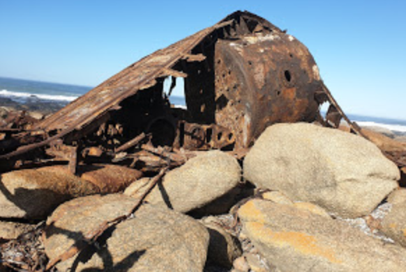
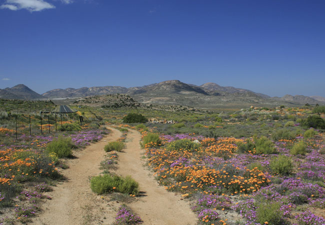
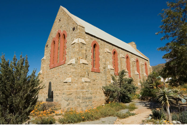
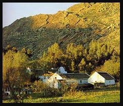
Darters Pass is one of those official Passes that leaves you wondering if you're in the right place. The Pass has only one gentle curve towards it's Northern end and climbs a fairly insignificant 62m over it's 3,6 km length. The Pass however, does have significant Historical value as it is is named after a British sharpshooter Lt. Charles James Darter who was ambushed and killed near the narrow Pass in 1902, right at the end of the second Anglo-Boer war. This Pass is located on the N7 Cape-Namibia route approximately 14 km South of Kamieskroon. South of Springbok, Kamieskroon is set among the granite rock formations of the Kamiesberg Range. The Town's origins lie in the 1860's, 17km North of its present position. Originaly it was known as Bowesdorp. Which is now a Ghost Town on the National Road, from Cape Town to Springbok, in the magisterial district and division of Namaqualand, aprox 504 kilometres North-West of Cape Town and 591 kilometres South of Springbok. In 1850 the Dutch Reformed parish of Namaqualand was separated from the mother parish of Clanwilliam, a place for a Church was required. A site was chosen on the Farm; 'Wilgenhoutskloof' and the Church the first in Namaqualand, was completed in 1864. The Village did not develop much until 1897, when Moses Schuur opened a shop and built a Hotel next to it. Then came the Post Office, the Police Station and the Prison, and it seemed as if Bowesdorp was on the road to prosperity. However, the growing importance of Springbok, which had been established in 1863, endangered the future of Bowesdorp! The parsons preferred taking up residence at Springbok rather than at Bowesdorp. When Dr. W. P. Steenkamp was called to Namaqualand in 1919, he had a Church built at Springbok. This was a heavy blow to Bowesdorp! In 1922, he recommended that the urgently needed repairs, to the Church at Bowesdorp be discontinued because of the high cost. If the community wanted a new Church, it should build one at a more suitable place where more water and space for future development would be available than in the narrow Kloof between high Mountains. Consequently a new Church was completed in 1924, on the road to Garies. The Post Office, Police Station and Shops, were moved there too. Kamieskroon, the new Village aros!. That was Bowesdorp’s deathblow! Plots which had originally cost R6 140 were sold for £8, and the only buyer of property was Adriaan Visser who came to Bowesdorp as a young constable before World War I. The former Village became his Farm! A signpost standing beside the road still indicates the site of the ghost Town, but all that remain of it are the ruins of: the Church, the Hotel, the Police Station, and the Prison of Bowesdorp. These are all near the present Farmhouse. 'Kamies' might be derived from the Nama word, 'kam', meaning two -referring to the twin peaks of the Mountain. The 'Kroon' or Pass is a 330m peak crowned with a huge, cleft rock, is a kilometre from the Village. Kamieskroon is one of the most scenic Towns in Namaqualand. There are 3 interesting Mountain Peaks namely: 'Kardou' (south-east of the town), 'Boesmankop' (asleep on his back, on the west side) and 'Sneeukop' (north-east of the town), which at a height of 1591 m is the second highest point in Namaqualand. As previously mentioned, the grave of Charles James Darter, part of the British Army. His grave is located just North of Kamieskroon on the N7, and is popularly referred to as the smallest piece of Britain in the World. (There actually is a Property-Title Deed) The site is identified by a pepper tree growing just next to the grave, and can be very easy to miss when driving past on the N7. You will also need to climb over a small fence to get up close, but people have made it relatively easy by placing big rocks to step on!