The little town of Kokstad sits on the boundary between KwaZulu Natal and the Eastern Cape, nestled in the heart of Griqualand East. Kokstad lies in the shadow of Mount Currie on the outer slopes of the Drakensberg and was, until recently, best known for its cheese until Oprah Winfrey placed the town on the map, amidst much fanfare, when her charitable foundation, Oprah’s Angel Network, designed a school for Kokstad's Shayamoya Township. Kokstad lies surrounded by mountains in a predominantly stock farming area. This wild and beautiful part of the country was settled by the Griqua - a hardy group of frontiersmen who, after clashing with Boers and the British in the interior, turned east and settled in what was known as ‘No Man's Land’ - in the 1860's. Their leader, Adam Kok, was responsible for establishing Kokstad. Today it’s a bustling little town, its history encased in its Museum, a National Monument on Main Street, which focuses on the Griqua people,( AS SEEN IN PICTURE). The town’s namesake was to die an unpretentious death after falling off a cart only a few years after the town’s establishment, but a monument, right next to the police station, commemorates his leadership. The area is popular for its many rivers and dams that provide ample opportunity for trout fishing, and there are no fewer than three reserves: 'Mount Currie; Wilfred Bauer, with its lovely picnic spots, and the Mountain Lake Nature Reserve, a small reserve peppered with cattle tracks and little paths that provide wonderful walks, as well as over 220 species of bird for bird lovers. Crystal Dam provides boating and angling opportunities. The Crystal Spring Dam is fed by the pure water of Crystal Spring, the main source of Kokstad's water supply. The existing bulk water infrastructure includes a weir on Mzintlava River and Crystals Spring Dam, which is mainly supplying water to the Kostad urban community. There are three rural schemes located at Swartberg, Franklin and Kransdraai, which meet the RDP level of service.
Place record
Kokstad
- Coordinates
- -30.5470, 29.4244
- Updated
- 24 Jun 2026
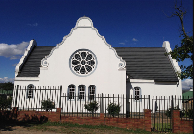
Museum on Main street, which is a National Monument
Location Map
Kokstad
How we know this
Last updated · 24 Jun 2026
South African History Online. (2019, November 28). Kokstad. South African History Online. https://sahistory.org.za/ref/P-0149775
South African History Online (2019) 'Kokstad', South African History Online, 28 November. Available at: https://sahistory.org.za/ref/P-0149775 (Accessed: 31 July 2026).
South African History Online, Kokstad [website], https://sahistory.org.za/ref/P-0149775, (accessed 31 July 2026).
"Kokstad." South African History Online, 28 Nov. 2019, https://sahistory.org.za/ref/P-0149775. Accessed 31 July 2026.
South African History Online. "Kokstad." South African History Online. November 28, 2019. https://sahistory.org.za/ref/P-0149775.
Further reading
 Article
Great Trek 1835-1846
 Place
Place
Mount Currie Nature Reserve, KZN-Kokstad
 Place
Place
Wakkerstroom
 Place
Place
Laingsburg, Karoo
 Place
Place
Lydenburg, Mpumalanga
 Place
Place
Montagu Pass
SAHO is free because readers fund it. Donate →