Place image

The Kopanong Local Municipality is a Category B Municipality situated within the Xhariep District of the Free State Province. It is the largest of the three Municipalities in the district, making up almost half of its geographical Area. Initially the Town of Trompsburg, was the location of the Municipal Head Office. This was known as Jagersfontein Road, before the branch Railway was built, from Springfontein to Koffiefontein via Jagersfontein. Later it was named Hamilton after Sir Hamilton J. Goold-Adams, governor of the Orange River Colony from 1902 – 1910. Still later the name was changed to Trompsburg in honour of the owners of the Farm on which the Town is built.
Basic agricultural products are exported from the Area for processing and re-imported into the Area as consumer products. Historical events that took place in the Municipality, aspects of the natural and man-made environment and local activities may form the basis for promoting tourism as a significant economic activity.
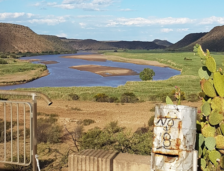
Some of these events, and man-made and natural environment aspects are: ‘Lake Gariep' and the Gariep Water Festival; the Game Reserve at Lake Gariep; Jagersfontein Mine; the ‘Tiger Project' in Philippolis; the Orange River Ravine from the Gariep Dam wall to the PK le Roux Dam wall; Battlefields of significant battles conducted during the Anglo-Boer War, e.g. Mostert’s Hoek; Philippolis ‘Witblits' Festival; Historical Buildings in Philippolis, e.g. the Dutch Reformed Church, Library, old Jail, the House where Lourens van der Post was born, Adam Kok's House (the Griqua leader) and a Kraal and structure where gunpowder was kept; and Fauresmith horse endurance run.
The name is a Sesotho word meaning ‘meeting place or where people are invited'. The name earmarks unity and seeks to encourage cooperation. It includes the Towns and Cities of; Bethulie, Edenburg, Fauresmith, Gariep Dam, Jagersfontein, Philippolis, Reddersburg, Springfontein, Trompsburg, Waterkloof and so forth.
References
https://municipalities.co.za/overview/1055/kopanong-local-municipality
https://www.infosa.co.za/search/view-listing/311/kopanong-local-municipality/trompsburg/free-state/free-state-municipalities/
Further Reading
https://municipalities.co.za/contacts/1055/kopanong-local-municipality
https://www.nytimes.com/2002/08/03/books/master-storyteller-or-master-deceiver.html
https://adb.anu.edu.au/biography/gooldadams-sir-hamilton-john-6425
https://www.sa-venues.com/things-to-do/freestate/bysuburb/philippolis/
https://www.sa-venues.com/things-to-do/freestate/bysuburb/fauresmith/
https://www.tripadvisor.co.za/Tourism-g6676660-Reddersburg_Free_State-Vacations.html