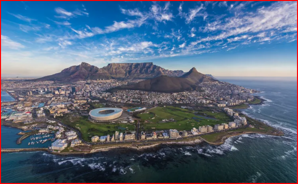
The Village of Papendorp lay some 2 km East of
Cape Town, on the Main Road to
Stellenbosch, later to become known as, Albert Road. The Area was named after
Pieter van Papendorp who settled there during the mid-eighteenth Century. His Home, known as;
'La Belle Alliance', in deference to the
French presence at the Cape in 1781-84, was registered in 1788 as security for a debt of 4,000 Florins, he had incurred with Jan Winterbach. In time, a number of families began to Build their Homes near the
Van Papendorp Homestead and, by the early 1800's, the Area had begun to be known as Papendorp. In 1845 it could boast of an Anglican Church and a School, and by the 1860's it came to be regarded as a fashionable Residential Suburb. This Development was accelerated after the Railway line from Cape Town reached Papendorp on 13 February 1862. During the 1870's its Beachfront, located immediately North of the
Castle, began to develop as a favourite Bathing Spot for Cape Town Residents. In 1881 it was Amalgamated with the neighbouring village of
Salt River under the name of Woodstock. The story is told- "of how a Resident's Meeting was held at the Woodstock Hotel in Papendorp to, decide upon a name for the new Municipality. The proposal to name it Woodstock was put forward by a group of Fishermen, who had been drinking at the hotel at the time, and who wished to honour their favourite watering hole. Because they outnumbered the rest of the meeting, their motion was carried. After 1903 the Social and Economic character of the Area began to change, with increasing Industrial Development taking place."
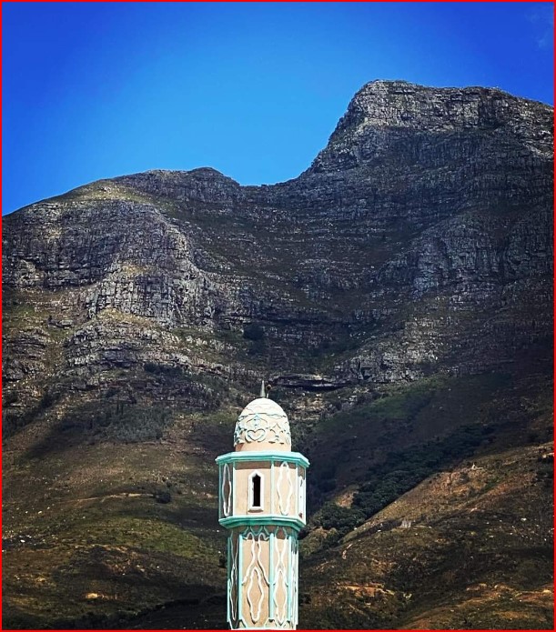 Sulaimania Masjid: The Williams Street Mosque. Photo by: James McKay Image Source
Sulaimania Masjid was the first Mosque built in Woodstock, in 1947. This was in the form of a House, but in 1955 the King of Egypt: 'Farouk" and his Government donated money for its completion.
Trafalgar Park
At Woodstock’s Trafalgar Park, the remains of the Fredrick William Redoubt — also known as the French Redoubt — still stand. In 1781, the Dutch East India Company, concerned about an overland British attack, accepted help from a French garrison to build a defensive line made up of four forts and three redoubts. After the British occupation in 1795, the forts and redoubts were again used for defence, before falling into disuse. In 1827, instructions were issued to demolish the forts.
In 1968, the last remaining redoubt was proclaimed a National Monument. The site also includes a small 19th-century incinerator known as ‘The Destructor’. Little is recorded about it, but it’s believed to have been used to destroy undelivered mail and confidential official city documents.

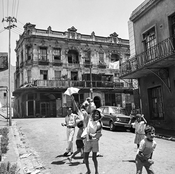
Corner of Victoria Road and Searle Street, Woodstock