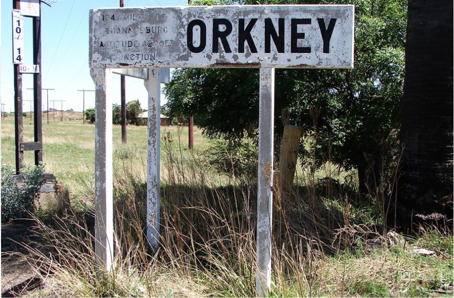
The City in Matlosana Local Municipality; (previously the City Council of Klerksdorp) is a Category B Municipality situated within the Dr Kenneth Kaunda District in the North West Province. The name: 'Matlosana', is said to mean: 'A single body of People helping each other to move from one area to another' It is bordered by the Ngaka Modiri Molema District, in the North and the Free State Province in the South, JB Marks in the East, and Maquassi Hills, in the west. It is the smallest of the three Municipalities that make up the District, accounting for a quarter of its geographical Area. The Town of Klerksdorp is located in this Municipality, in the North-West Province- South Africa. It can be located 130 km South West of Johannesburg. The “old town,” which was founded in 1837 on the Schoonspruit River near its confluence with the Vaal River. This was where the first Boer settlement in the Transvaal was found. Opposite on the Eastern bank, lies the “new town,” dating from 1888. An important grain-producing, mining (after 1932; gold and uranium), and Industrial centre, Klerksdorp expanded greatly in the second half of the 20th Century, with new Industrial development and Residential Suburbs. In 2001, the Urban Population was 333,232. Whilst the Municipal Population was 359,203 in 2021!