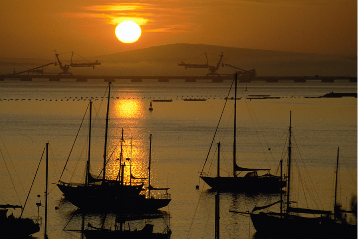
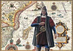
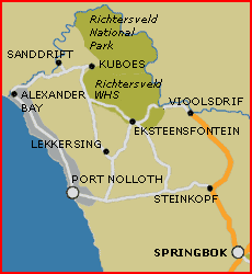
What today is essentially a fishing village, Port Nolloth lies on the bay known by the indigenous Namaqua people as: 'Aukwatowa'- (where the water took away the old man) - it was the last landfall the Portuguese explorer Bartolomeu Dias sighted, before he and his ship were blown off course and out to sea for thirteen days. Port Nolloth lies 144 kilometres northwest of Springbok, and 90 kilometres west of Steinkopf. Which was named after the Reverend Dr Steinkopf, who visited England in 1842. Steinkopf was founded in 1819 by the Rhenish Mission Society as a mission station for the Nama people in the area. Steinkopf was known as: 'Kookfontein' or the town of the 'rondehuise'-Afrikaans for the Nama huts.
Port Nolloth started its life as a railway junction for the copper-mining industry, and subsequently as the site for diamond mining, but today serves mainly as a fishing village for the crayfishing industry (or rock lobster), and for small-scale diamond recovery; large-scale shipping came to an end as diamond discoveries have gradually declined in the area.
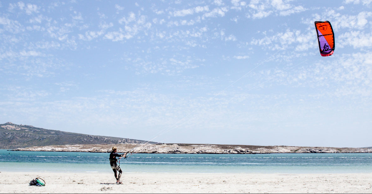
Port Nolloth is as laidback as it sounds. Nothing much happens very fast here, and as a result, holiday makers are attracted to the town to soak up the worriless atmosphere, and the sun. McDougalls Bay is home to clean beaches and calm seas, if a little cold, that offer hours of swimming, walking, kayaking and boating time; and you can fish for snoek or yellowtail if you have a permit. Port Nolloth and its neighbouring informal settlement: Sizamile'.
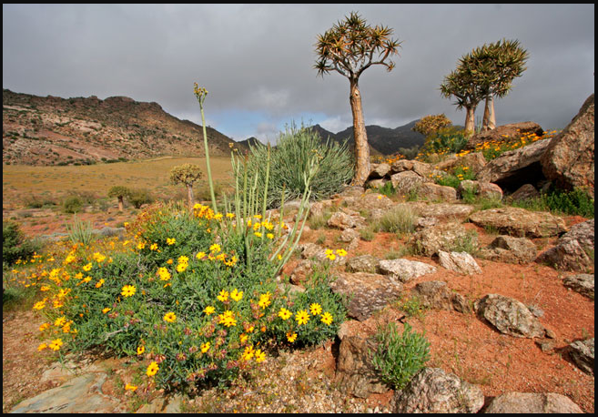
This interesting bay makes a good stop off if you are at all interested in the Namaqua Flower Route, or a visit to the Richtersveld National Park. Walking tours around Sizamile are on offer by local guides; the local museum is filled with history, and a trip inland to the little town of Lekkersing, just north of Port Nolloth, offers a ‘look in’ to a community workgroup: ‘Rusoord’, where local craft in the form of ‘velskoene’, mats, huts, dresses and ‘riempie’ chairs is available.