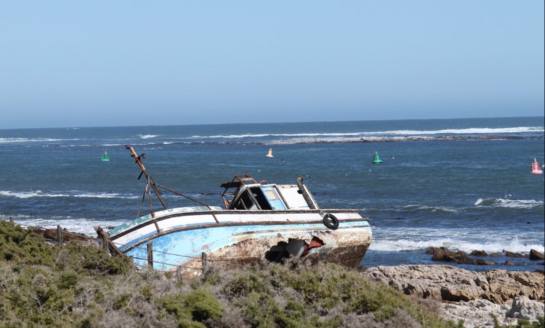
Cultural History
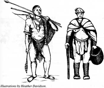
The cultural history of Namaqualand stretches back hundreds of thousands of years. Hand axes, presumably made by humans Homo erectus, have been found in the park. The San (a hunter-gatherer people) inhabited the region for thousands of years, moving seasonally after game, edible plants and water. Evidence of hunter-gatherers and herders is dotted all over Namaqualand along the Gariep River, along the coast, in caves and on the rocky outcrops. The descendants of the herder people are still living in Namaqualand today, although having lost a great deal of their original culture and traditions. During Colonial Times in the 1700’s the Europeans moved in and settled as stock farmers. Technology became part of the Namaqualand cultural landscape in the form of copper and diamond mining.
The park was proclaimed on 29 June 2002 for the purpose of conserving the rich diversity of succulent plants. Namaqua National Park is in the process of development, having grown to its current size of 1410 kilometres squared (including the coastal contract area between the Groen and Spoeg rivers) in nine Years,. Thus expanding the park to include more succulent habitats and an important coastal section.
The history of establishment: In 1988 Skilpad Farm was purchased and started managing it as a wildflower reserve. SANParks take over the management of the Skilpad Wildflower Reserve and surrounding farms that had been purchased. In 1999 was the Official opening of the Namaqua National Park. In 2000 they began; Working for Water project. August 2000 was the official start of Global Environment Facility project. 2001 Construction and refurbishments of infrastructure at the Skilpad Section of the Park begins. In 2002 was the official proclamation of the land that now formed the Namaqua National Park. In 2002 the Global Environment Facility Social Ecology projects get under way and the first Environmental Education Campaign in Africa begins in the Namaqua National Park. 2003 Land consolidation reaches 720 square kilometres! 2004 work begins on proposed corridor to coast. In 2005 land acquisitions to consolidate corridor negotiations with: 'De Beers Namaqualand Mines' is still ongoing. 2008 Contractual inclusion of the Groen-Spoeg River section, as part of Namaqua National Park. The park has one access-controlled route; the main entrance gate at the Skilpad section. The use of this gate is normally restricted to between 06h00 and 18h00. The Groen-Spoeg River section can be entered at the Groenrivier, where a marine SANParks official is based.
The weather in the Namaqua National Park falls within the winter rainfall region, of South Africa. Rainfall is associated with cold fronts in winter and is not only predictable but more reliable than other arid regions. The biological uniqueness of the Succulent Karoo Biome can be attributed to the low but reliable rainfall patterns. The average annual rainfall measured over 15 years in the Skilpad section, at 700 metres above sea level is 340mm. The average at Soebatsfontein just beyond the parks south-western boundary is 140mm per annum. The Namaqualand Coastal Duneveld has a mean precipitation of below 100 mm annually. Snow on the Kamiesberg is common with the last snow recorded in 2009. Mist is frequent during autumn and winter and the associated moistening of the soil is thought to influence annual plant germination rates. The wind in winter is usually from the east, which can turn to a cold northwesterly with the approach of a frontal system. In summer the wind is predominantly from the south or east.
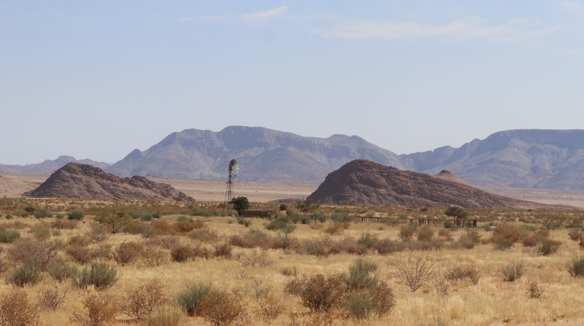
The geography is made up of a bedrock. Which largely comprises Quartzo-feldspathic Gneiss of the Kookfontein within the Namaqualand Metamorphic Complex. Bedrock outcrops occur on koppies or mountains as smooth rock faces or large rounded boulders, typical of the Namaqualand Hardeveld. Of further geological significance is the Soebatsfontein Quartzite that occurs as low laying ridges or koppies in the south and south-western sections of the park. Wolfhoek se Berg is the highest point above sea level in the park, at 948m above sea level.