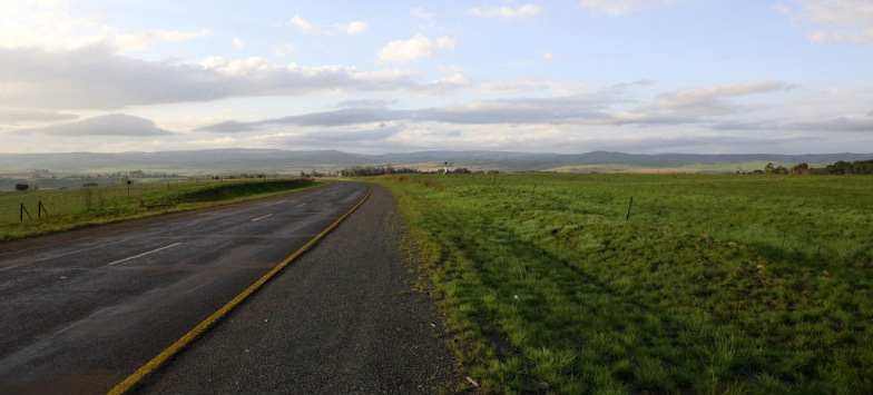
The Skurweberg Pass lies on the rim of the Drakensberg Escarpment - a steep, tarred and modern route over the Skurweberg Mountains, on the R 541 between Badplaas and Machadodorp. The aptly-named Skurweberg (“Rough Mountain”) Pass winds its way down the upper Drakensberg Escarpment between Machadodorp and Badplaas in Mpumalanga. The pass is much-loved by motorcyclists due to the curvy nature of the road, but it does have one or two corners which can be dangerous at high speed. It is relatively steep with an average gradient of 1:17 and descends a total of 448 metres, but the tarred road surface is good and free of potholes. Keep an eye out for monkeys and baboons, as well as domestic livestock. The pass can be driven in any vehicle and in all weather conditions!
Meaning 'rough mountain' in Afrikaans, the Skurweberg Mountains are a series of ancient Sandstone Outcrops; the remains of the seabed from the time of the bygone Super-Continent of Gondwana, at least 180 million Years old!
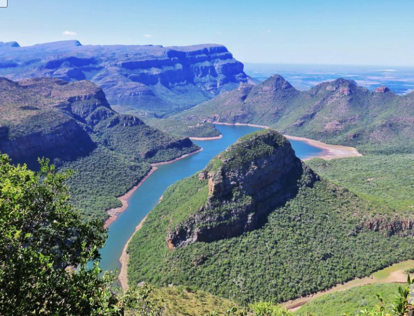
The Skurweberg is particularly beautiful – visitors travel the Pass not merely to get between Machadodorp and Badplaas, but to drink in the Views. In the Mountains is the Wathaba Wilderness Area, an area rich with Waterfalls, Streams, Pools and overgrown Kloofs. Filled with mosses, lichens, ferns and about 90 different Indigenous Trees.
The Pass starts in the South, just North of Badplaas, heading through a wide Kloof created by the flow of the Komati River. The initial Ascent is rigorous, gaining Altitude fast, as the road hugs the Mountain! On one of these sharp bends is the start of the Num-Num Trail, the core of which lies in the Skurweberg Mountains - five days of incredibly scenic Hiking, with a Slack packing option! A little farther on, and the gravel Road to the start of the Wathaba Hiking trail heads up the Eastern edge of the Kloof. From here the Pass straightens a bit, continuing to climb at a rapid rate! At the Summit is the 'Uitkomst Farm'.