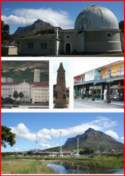
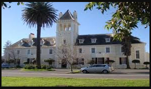
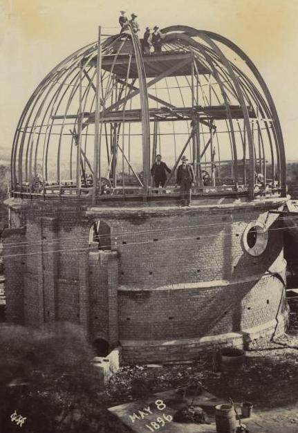
The Royal Observatory occupies a small wooded Hill about 6 km East of central Cape Town, within a Conservation Area known as; the Two Rivers Urban Park. Its location was originally chosen to be within view of the Table Bay, the anchorage in front of the City, to permit the visual signaling of time to visiting ships, because of the treacherous Sea, hence the name: 'Cape of Storms'. The Greek Revival Main Building of 1825-8 still dominates the Hill and faces a lawn to the South which forms an axis along which are many smaller edifices such as domes and dwelling houses, most dating from the Victorian period and forming a pleasant coherent whole. The only large modern building is inconspicuously located at the back (North) of the Main Building towards the Northern end of the Property.