Elandsberg Nature Reserve, Western Cape
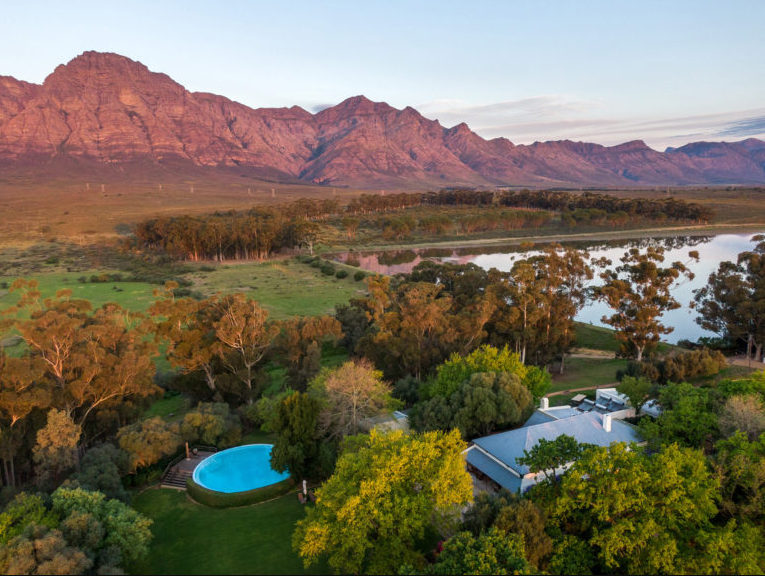
Elandsberg is a Mountain and is located in the Swartland District, near Riebeeck Kasteel, in the Western Cape. The estimate terrain elevation above seal level is 2006 metres.
The Elandsberg Nature Reserve was formally declared a provincial nature reserve in 2008 in recognition of its importance to conservation.