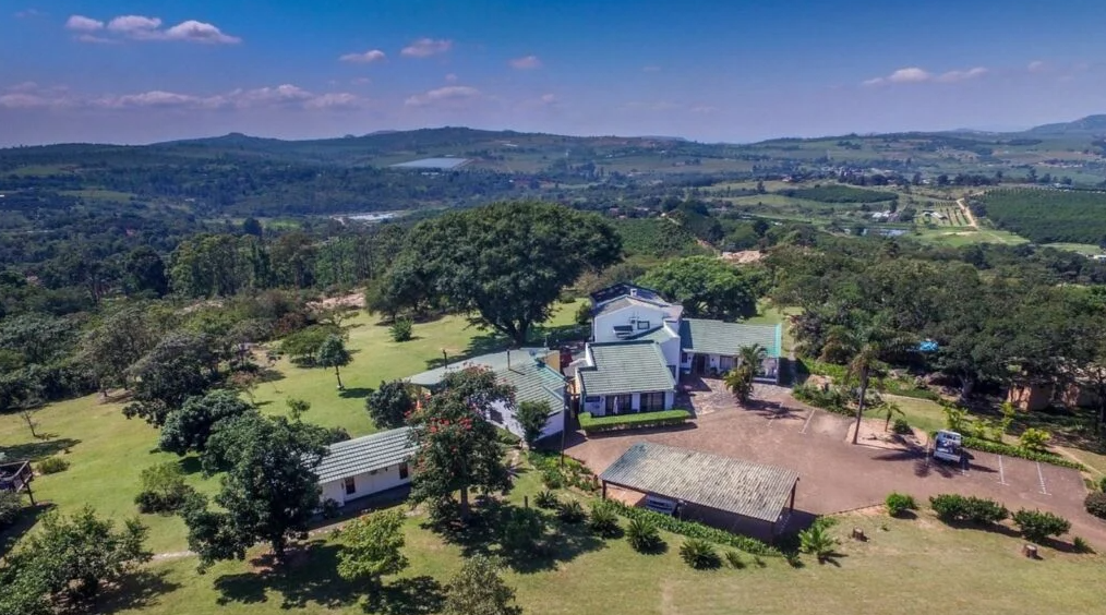
The little Town of White River - an important farming and tourism centre - was founded around 1890. It’s proximity to the Kruger National Park renders it a great base from which to explore the Park and other undiscovered gems in the Area. The Farming tradition of the people that settled in White River, after the Anglo-Boer War, have remained practically the same to this day.
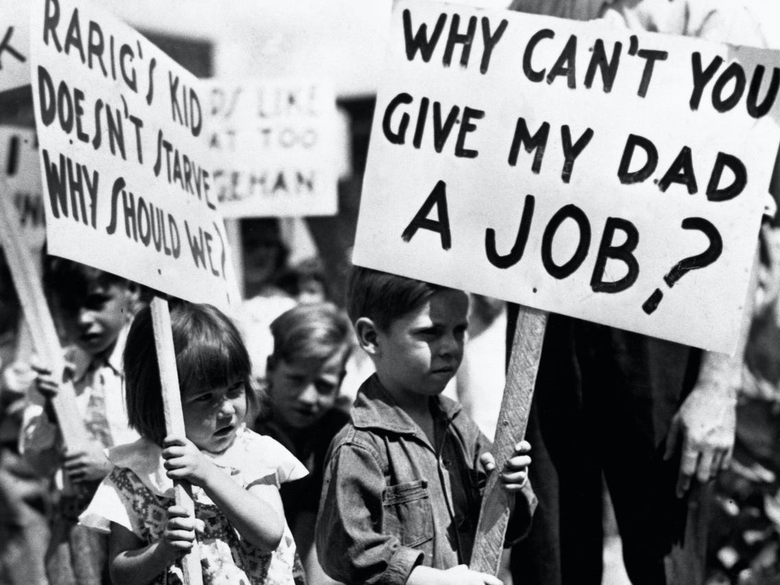 The picture above shows how dire the situation was in America during the Great DepressionImage Source
Source 2A
The source below describes the impact of the Great Depression on men in the USA.
Source 2A
SAHO is free because readers fund it. Donate →
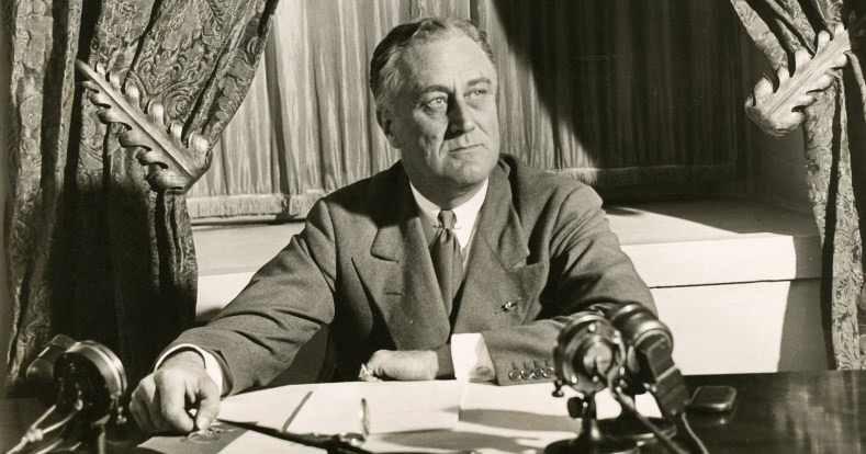 Franklin Delano Roosevelt at the presidential desk in Washington Image Source
Essay Question:
SAHO is free because readers fund it. Donate →